|
|
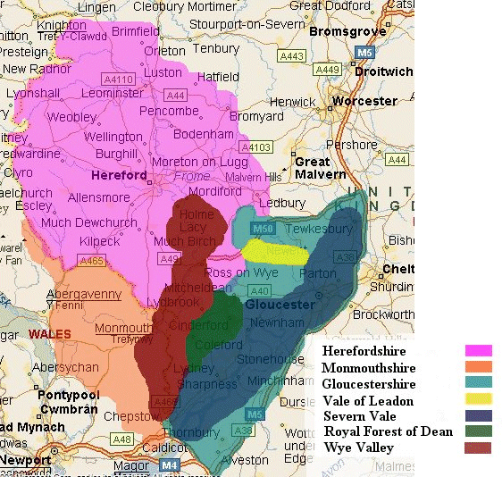
Location
Maps for Forest of Dean,
Herefordshire and Monmouthshire
These interactive location maps of the Royal Forest of Dean and surrounding areas - show the general location of some of the major towns and villages in relation to the generalised areas.
Please click on the place names to get comprehensive
informationon on the chosen town or village.
|
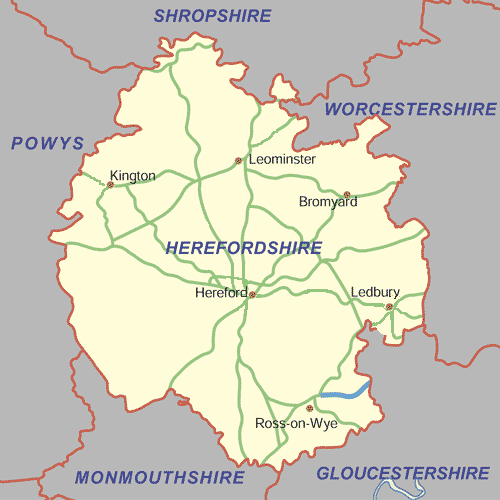
Interactive map of Herefordshire
Please click on the place names to get comprehensive
information on on the chosen town or village.
|
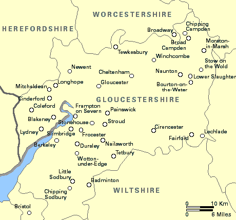
Interactive map of Gloucestershire
Please click on the place names to get comprehensive
informationon on the chosen town or village.
|
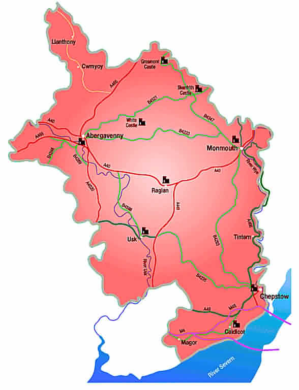
Interactive map of Monmouthshire
Please click on the place names to get comprehensive
informationon on the chosen town or village.
|
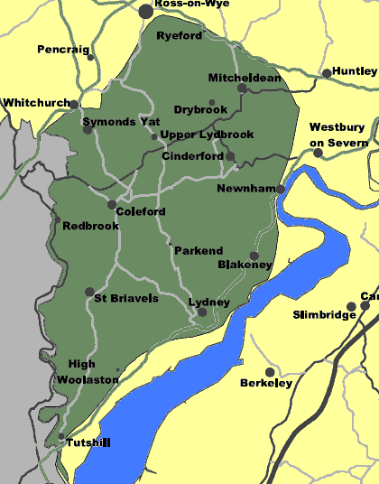
Interactive map of the Royal Forest of Dean
Please click on the place names to get comprehensive
informationon on the chosen town or village.
|
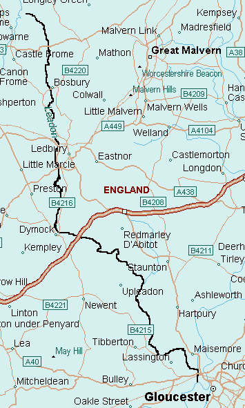
Map of the Vale of Leadon
|
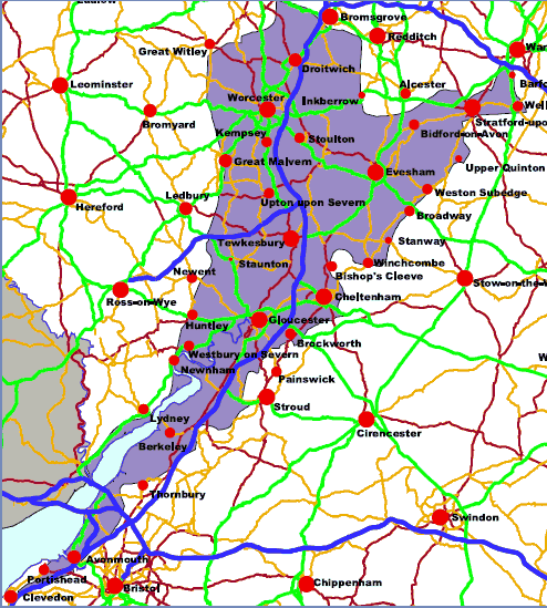
Area map of the Severn and Avon Vales
|
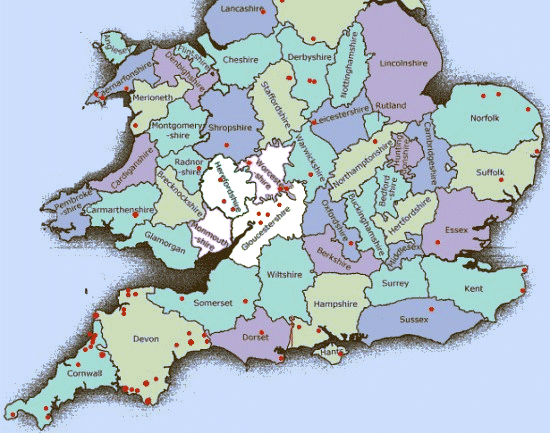
Counties of Southern England and Wales
|
Location Maps of
The Royal Forest of Dean, Wye Valley, Vale of Leadon, Severn Vale,
Herefordshire and Monmouthshire |
| This page last modified
[an error occurred while processing this directive] |